

Is Climate Change Coming for Us All?
Natural disasters have always been a risk, especially in certain parts of the country like coastal cities and Tornado Alley. But climate change has caused more drastic shifts in weather patterns throughout the U.S. From wildfires to hurricanes, where you live can impact your home and your safety. That's why we looked at the 50 most populous metro areas in the nation to find which areas face the least risk from natural disasters.
We looked at the seven following factors:
- Overall Climate Vulnerability Percentile: A general risk score that takes into account climate impacts on extreme weather events, environment, health, infrastructure, social and economic conditions.
- Precipitation Score: Measures how rainfall and snowfall could change through 2050.
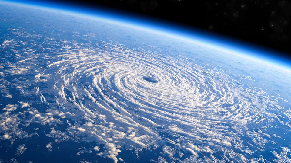
- Storm Score: Accounts for the frequency of hurricanes, tornadoes and winter storms annually.
- Flooding Score: Predicts how changes in sea level could impact areas by 2050.
- Wildfire Score: Measures the frequency of wildfires and their impact on air quality between 2021 and 2022 (the last year for which data is available)
- Drought Score: Measures the length and frequency of droughts from 2021 to 2022 (the last year for which data is available)
- Average Homeowners Insurance Premiums: Reflects the market’s perceived risk using the average cost of annual premiums for homeowners.
It's worth noting that the climate vulnerability data is available by census tract. That means different addresses in the same city may have vastly different scores, especially when it comes to flooding and wildfire risks. We used each area's downtown census tract for consistency.
Check out the cities with the least risk of natural disasters, plus a quick round-up of the 10 worst cities in the U.S.


