

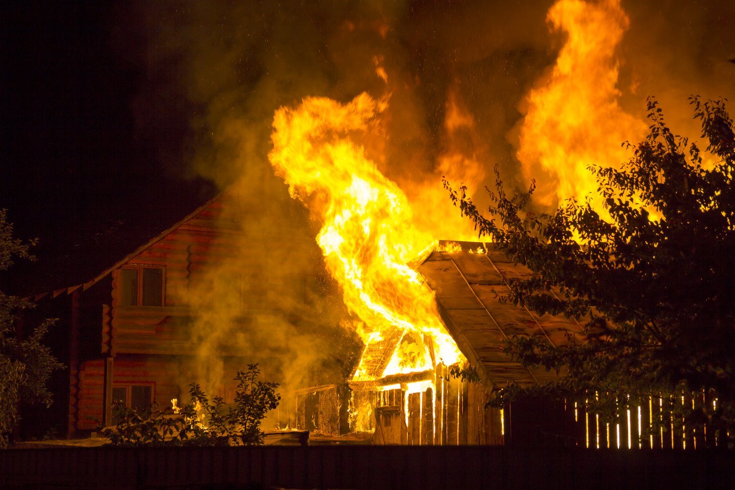
Wildfire Risk Is on the Rise
Wildfires have become increasingly common across the U.S. While the western half of the U.S. is particularly vulnerable, droughts across the Southeast have also increased risks in 2026.[1] From evacuations to insurance losses, enduring a wildfire is a frightening and costly experience.
But not all parts of the country have the same history and future outlook when it comes to fire risks. The Zebra looked at three data sets to find which areas are the most dangerous when it comes to navigating wildfires:
- Overall wildfire risk: This metric determines the risk of wildfire compared to other communities in the country.
- Wildfire risk to property: This metric looks at the average risk score to property through 2050. The higher the percentile, the higher the risk.
- Acres burned by state: This data tracks the scale of damage in 2024.
We also show the average annual homeowners insurance premium for each city to see how wildfires and other facts may impact those costs.
Ready to find out the most dangerous cities for wildfires? Here's your top 10.